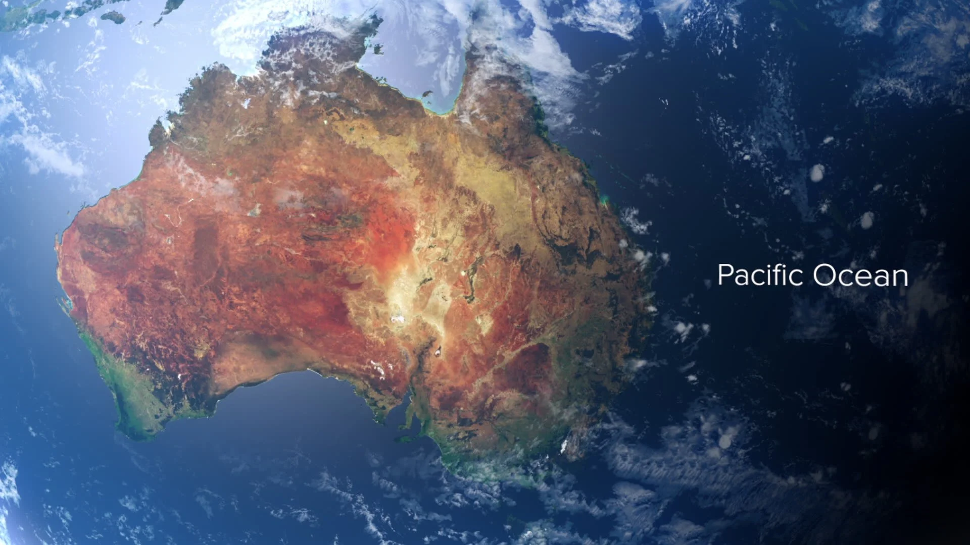
Satellite Maps
These maps are highly accurate representations of the world, created using real satellite imagery and data. They can be displayed as a 3D globe or used as a 2D map, showcasing the vivid, true-to-life colors of the Earth.
Don’t worry about sounding professional. Sounds like you. There are over 1.5 billion websites out there, but your story is what’s going to separate this one from the rest.

It all begins with an idea.
Maybe you want to turn a hobby into something more. Maybe you want to launch a business.
Make it stand out.
Maybe you want to turn a hobby into something more. Or maybe you have a creative project to share with the world.

Scilly Isles
Locator maps for the Channel 5 programme following life on the Isles of Scilly.
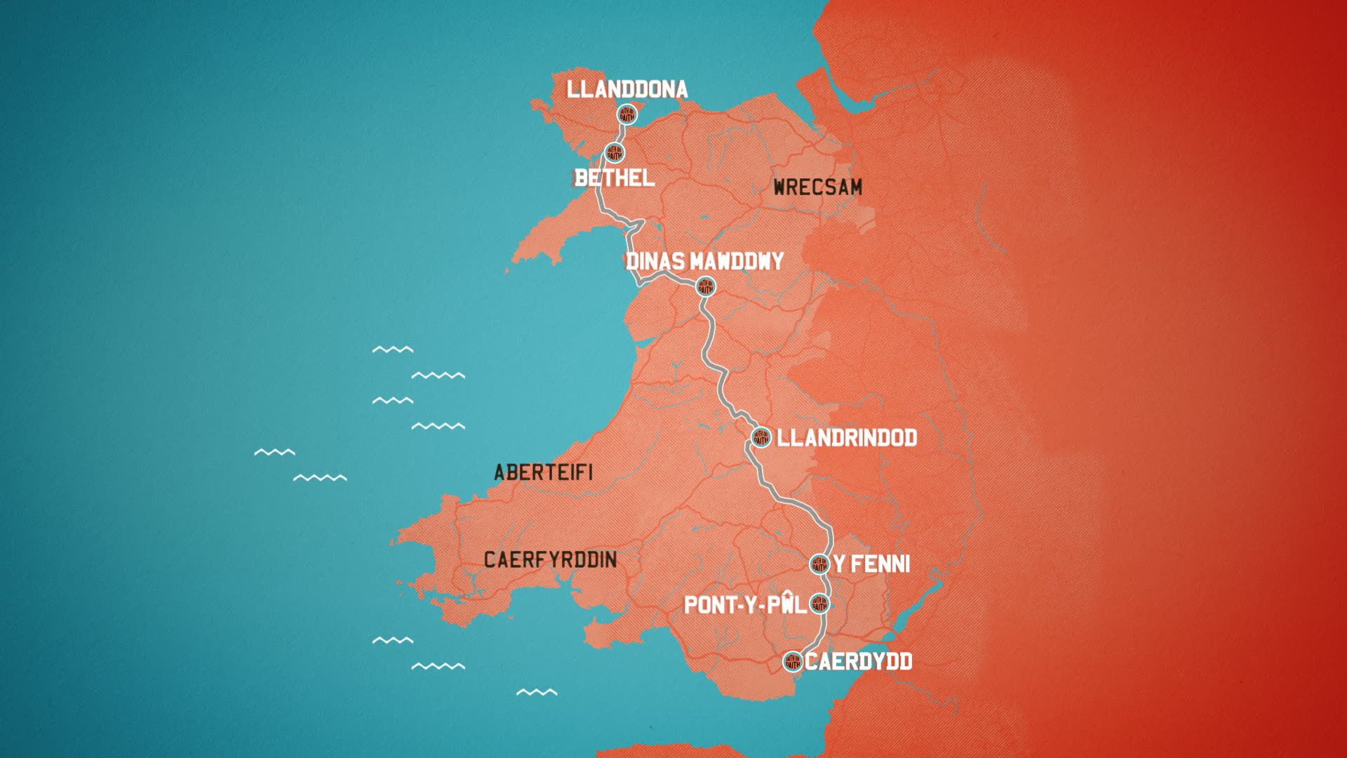
Stylised 2.5D maps
These maps are striking and distinctive graphics, crafted to seamlessly integrate with the overall design package in a stylised manner.
While the natural details of the areas are world-accurate, they are enhanced to match the specific style that best complements the program.


Illustrated 2D maps
These maps provide the audience with a clear sense of placement and effectively illustrate a journey, even without satellite sourced geographical or natural data. Mountains, rivers, and other natural features are represented through illustrations and icons, highlighting elements that are important to your program's narrative.


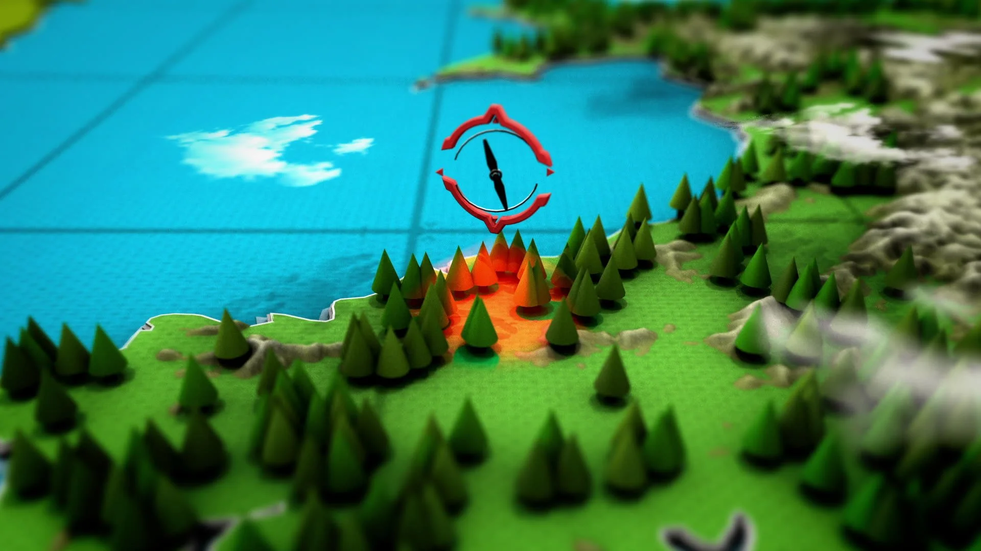
Illustrated 3D maps
Like the 2D maps, these use designed elements and icons rather than satellite imagery, but they are presented in a three-dimensional format.
Integrated into footage Maps
These are ideal for short trips and labeling locations when showcasing aerial footage.
